 |
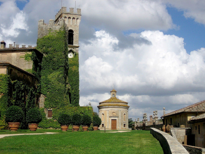
Castello di Celsa, chapel |
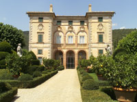
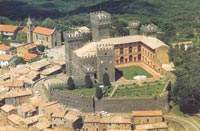
Castello di Celsa |
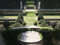
The exclusive Castello di Celsa, owned by the princely Aldobrandini family, lies fourteen kilometers south-east of Siena. The old castle, converted to a palatial villa in the sixteenth century and with a garden built in the seventeenth century. |
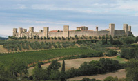
| La montagnola senese extends in the districts of Siena, Monteriggioni, Sovicille and Casole d'Elsa, but for the most part it is located in the district of Sovicille. During the XII-XIII century several churches were built, among which the parish church of Pernina, Molli, S.Giusto a Valli, San Lorenzo martire, S.Maria di Ponte allo Spino, the parish church of Rosia and San Lorenzo martire. In the same period some towers (Palazzone di Sovicille and Palazzaccio di Toiano), castles (Celsa, Montarrenti, Cerreto Selva e Palazzo al Piano) were built, too. Several ancient villages and churches are really charming; among the first ones there is the XII century white fortress of Monteriggioni, with its boundary wall reinforced with 14 square towers. Among the second ones: the wonderful parish churches of Radicondoli, Ponte allo Spino in Sovicille, San Giovanni in Rosia, the Augustinian hermitage of Lecceto, and finally the original complex of Abbadia Isola, a medieval village built in 1001 around the Cistercian Abbey of San Salvatore. Located on the edge of an extensive plain below the wooded slopes of Mount Maggio, the buildings are dominated by the Romanesque church with three naves and three apses. Sovicille’s territory stretches from La Montagnola Senese to the valley of the river Merse. Most of the itineraries around Sovicille are covered by the Carta Turistica (Turistic Maps) and by the Sentieri della Montagnola Senese 1:25000 (The Sienese Montagnola Paths) Club Alpino Italiano (CAI: Italian Alpine Club) Sezione di Siena (Multigraphic Edizioni, Firenze). Anello Sovicille | Sovicille – San Giusto – Villa Cetinale – Il romitorio di Cetinale - Pieve di Pernina – Ancaiano – Villa Celsa - 16 km (Italian) Anello Monteriggioni | Monteriggioni | Badia a Isola | Castel Petraia | Monte Maggio (Italian) In the the 11th century, this area was covered with marshlands, which were worked by Benedictine monks who fashioned an area where a monastery and important church could be built. |
||
| Cetinale, a villa near Villa Celsa, was constructed by Carlo Fontana , a pupil of Bernini, between 1676 and 1719. Cetinale was one of 70 gardens profiled by early 1900s American author Edith Wharton and featured again when Vivian Russell wrote a book entitled “Edith Wharton’s Italian Gardens” in 1997. Some of the gardens had been bombed during the past two world wars, while others were spoiled by tourism or neglect. Fortunately for posterity Cetinale, has been owned and significantly restored after war damage by English Lord Lambton, and his family, over the past 40 years. Penelope Hobhouse, the internationally acclaimed garden designer, called Cetinale ‘the epitome of garden design’, and has written that the flower garden is ‘one of the most beautiful in Italy’. Villa Cetinale was used as the Villa in question in the film made of Somerset Maughan’s short story “Up at the Villa” starring Kristin Scott Thomas and Sean Penn.[1] |
||
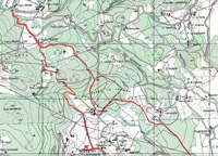
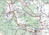
Maps: Edizioni Multigraphic Walking Maps of Central Italy 509, Montagnola Senese & Bosco di Lecceto, 1:25,000. |
||
|
||||
| Podere Santa Pia | Villa I Tatti |
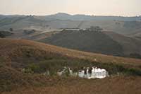
Podere Santa Pia, view from the garden on the valley below |
||
Monterriggioni |
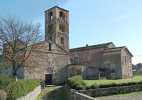
Sovicille, Pieve di Ponte allo Spino |
Castello Torre Alfina |
||
 |
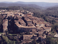 |
|||
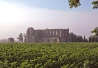
Abbey of San Galgano |
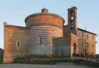
L'eremo di Montesiepi (the Hermitage of Montesiepi) |
Monticiano |
||
The Montagnola Senese and the Fortified Village of Sovicille
|
||||
 |
||||
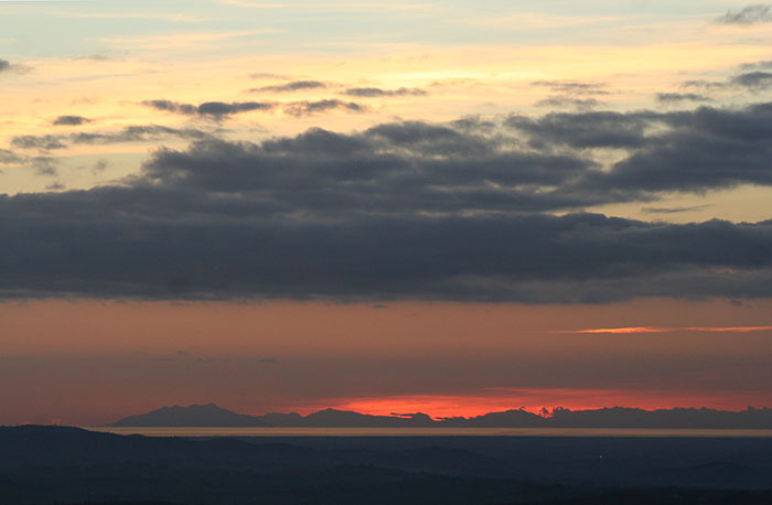
One of the best places to slow travel in southern Tuscany is Podere Santa Pia. This holiday house is a peaceful retreat, perfect for relaxing with magnificent panoramic views of the mystical Maremma hills up to the Mediterranean Sea and Montecristo. |
||||

