Cycling Tours in the Tuscan Maremma | Montieri | Unspoiled Nature and Stone Villages |
Unspoiled Nature and Stone Villages
|
 |
Town Hall and Palazzo Papi Matii in Montieri, Grosseto [3] |
 |
 |
|||
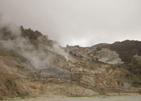
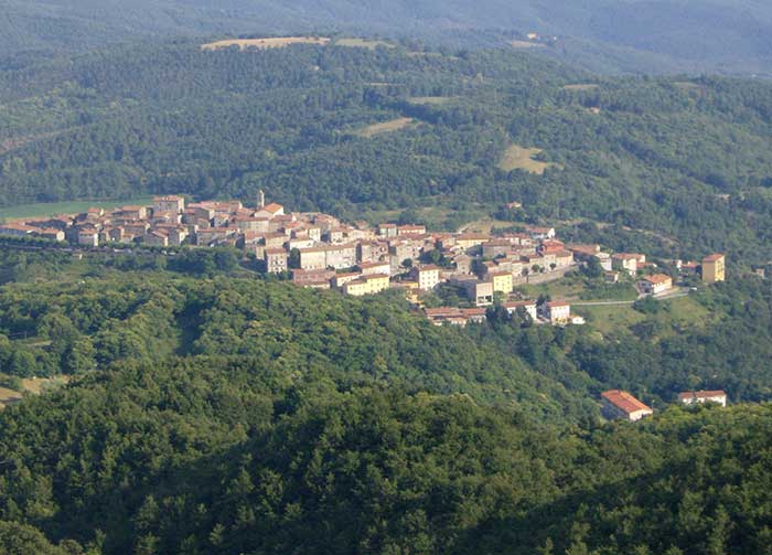
Monterotondo Marittimo
|
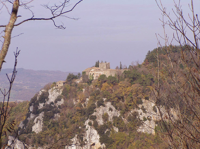
Itinerary from Castello di Fosini to Gerfalco |
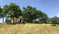
Castello di Fosini |
||
|
||||
 |
 |
|||
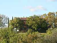
Podere Santa Pia |
Podere Santa Pia |
Prata
|
||
 |
 |
 |
||
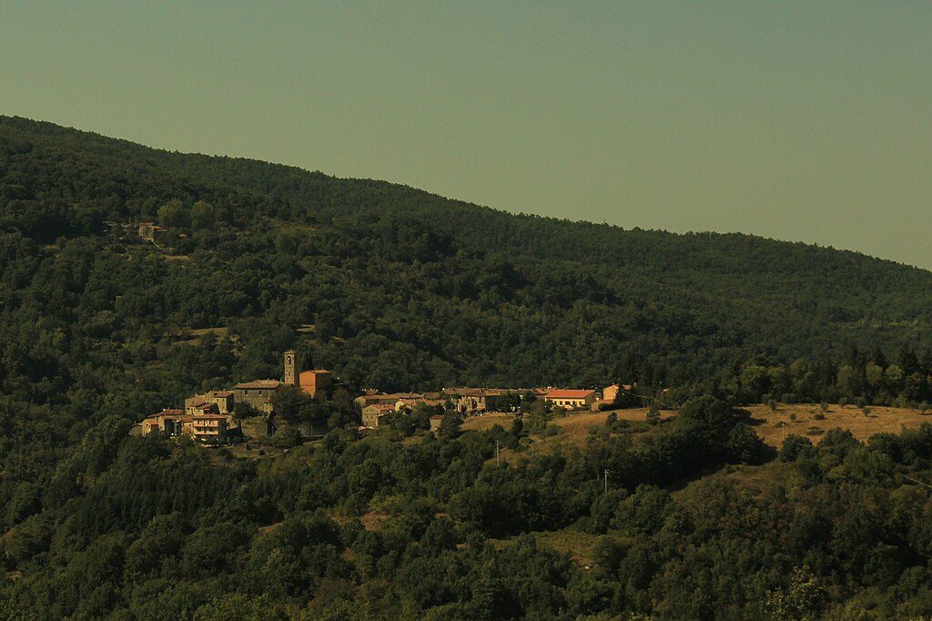
| Panorama di Travale [1] | Chiesa di San Michele e San Silvestro con Oratorio della Compagnia a Travale, Comune Montieri [1]
|
Porta di Travale, Montieri (GR) [1] | ||
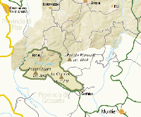
| Le Colline Metallifere | ||||
|
||||
 |
||||
Colline Metallifere vista da Campiglia Marittima [2]
|
||||
Tuscan Mining Geopark, Technology and archaeology within an extraordinary nature
|
||||
Technological and Archaeological Park of the Metalliferous Hills of Grosseto includes the territory of seven municipalities in the Province of Grosseto - Follonica, Gavorrano, Massa Marittima, Montieri, Monterotondo Marittimo, Roccastrada and Scarlino. |
||||
Cycling in Tuscany | Cycling tours in Southern Tuscany Sito ufficiale di Musei di Maremma. Sito ufficiale della Cooperativa Colline Metallifere. Parco Tecnologico Archeologico delle Colline Metallifere Grossetane, parcocollinemetallifere.it. Il giardino dei Suoni, irre.toscana.it. Walking in Tuscany | Trekking in Tuscany in the Montioni Park, Etruscan Coast
|
||||
|
||||
 |
||||
L'area delle Roste, lungo il fiume Merse e visibile dalla strada che collega Massa Marittima con Siena, raccoglie i resti delle lavorazioni del rame a partire dalla fine del XIX, inizi del XX secolo, avvenute con il metodo Conedera [3].
|
||||
|
||||