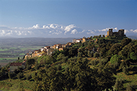
17. Cala Violina - 15.6 km
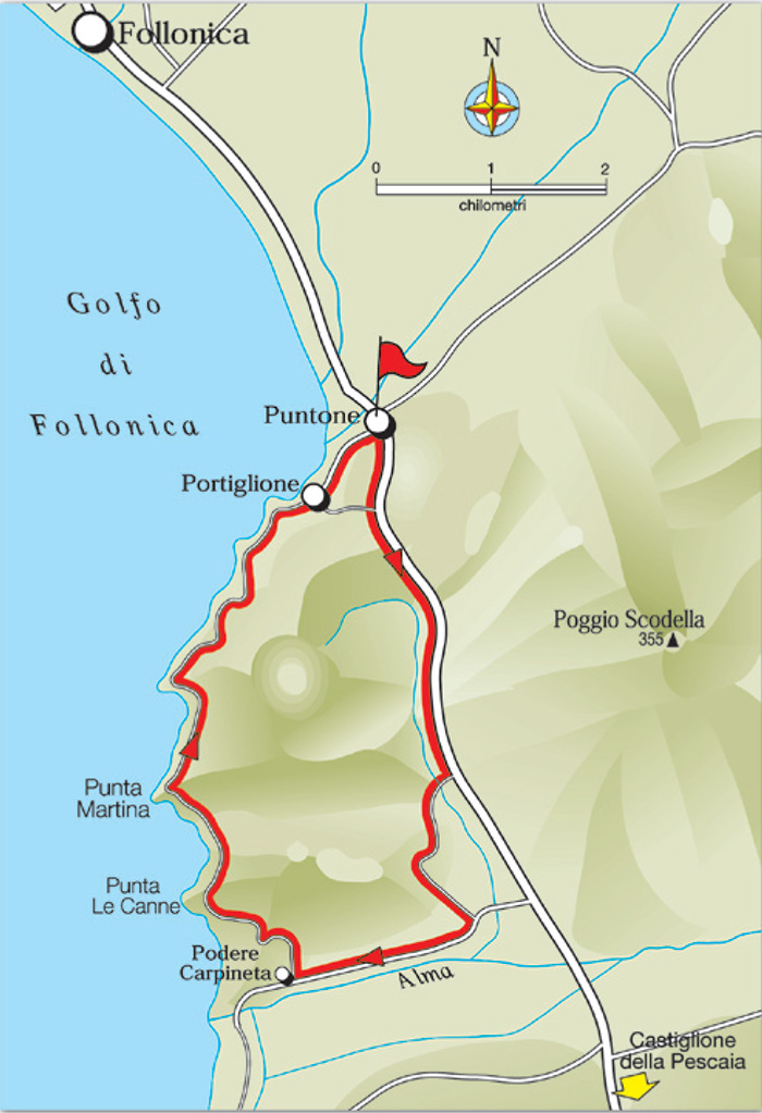
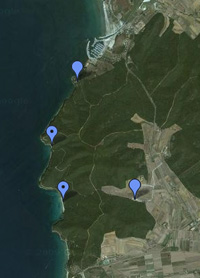
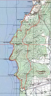
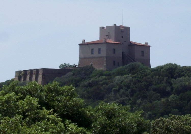
FOLLONICA (LOC. PUNTONE) Km 0 - PIAN D'ALMA Km 3,6 -TORRE CIVETTE - PUNTA LE CANNE Km 8,5 - CALA VIOLINA Km 9,5 - PUNTA MARTINA Km 11,4 - CALA FRANCESE - FOLLONICA (LOC. PUNTONE) Km 15,6
Starting point and arrival: Follonica (Locality Puntone)
Distance in kilometres: 15.6 km
Difference in altitude: 60 m
Type of road: dirt track and tarred road
Bicycle: MTB or all-terrain
Difficulty: easy
NOTES: This is a short itinerary but magnificent from the point of view of environment and landscape. One cycles mainly along dirt trackswithout particular difficulties in altitude difference, discovering at the same time one the most spectacular coastal stretches of the whole Tyrrhenian sea. Cala Violina and Cala Martina are to be reached exclusively on foot, by bike or on horseback.
Cala Martina is known as the point where Giuseppe Garibaldi, hased by papal guards on September 2, 1849, was able to board a ship to Porto Venere. Behind the viewpoint Punta Martina. your reach a crossroad, where you turn left towards a nearby memorial of Giuseppe Garibaldi, from which you can get to the Cala Martina beach by a narrow path.
.
The starting point is at the Puntone, a locality 4 kilometres south of the centre of Follonica. One starts from the parking lot in Piazza Dani, immediately after the bridge over the Fiumara. After about a hundred metres one turns right onto Largo Cala Violina. Clearing an iron bar, from here one takes the old Strada delle Collacchie that at first runs parallel to the main road. One cycles uphill for about 1 kilometre overlooking the bay of Follonica as far as another bar (1.1). At this point one continues on the tarred road (one could also remain on the dirt road running parallel to the provincial one, but it is not very smooth and it is suitable only for MTB) for about 2.5 kilometres as far as the road sign to Cala Violina on the right.
Here one takes the dirt track Strada Comunale di Civette (3.6) and cycles for 600 metres reaching a crossing (the right turn leads straight on to the parking lot of Cala Violina) where one continues straight on for 400 metres as far as the Laschetti Farm.
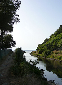
The road skirts the rural estate and, immediately past it, one takes the track on the left (4.7) and cycling on a surface made of arenaceous layers one skirts the wood for 500 metres as far as the first detour (5.2, iron gate). Here one turns left cycling downhill on the dirt road to take the tarred path of the camping ground after 300 metres. Having reached the tarred road one turns right running along the river Alma. After 1.7 kilometres on reaching another farm (7.2) one leaves the tarred road and turning right one cycles back uphill on the dirt track with the sandy surface returning to the woods as far as a welldefined crossing where one cycles on to the left again uphill for 400 metres skirting the fence. One cycles uphill clearing the hill (8) and then downhill on a path surrounded by the maquis reaching the coast near Punta Le Canne.
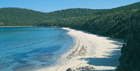
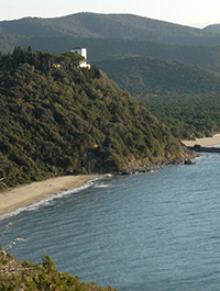
One continues downhill for about 500 metres enjoying a great view of the light sand on the shore of Casetta Civini, Punta Hidalgo, Balbo Castle, Isolotto dello Sparviero and the outline of the Isola d’Elba not far away. The path leading to Cala Violina (9.5) overlooks a splendid landscape. Here it is advisable to make a short detour on foot to one of the most beautiful strand of the seashore. The itinerary continues along the coast on the large dirt road with unbroken ups and downs that can be cleared by bike up to Cala Martina (11.4), past the monument to Giuseppe Garibaldi, who in 1849 rested in Cala Martina after escaping the papal guards. One cycles on as far as the end of the dirt road (13.6) and clearing the iron bar one gets back onto the tarred road near a square.
From here one cycles on in the direction of Puntone, skirting the little harbour of the Fiumara up to Largo Cala Violina. The itinerary comes to an end in Piazza Dani near the parking lot, where it started (15.6).
