10. The Leopoldina road - 38.4 km
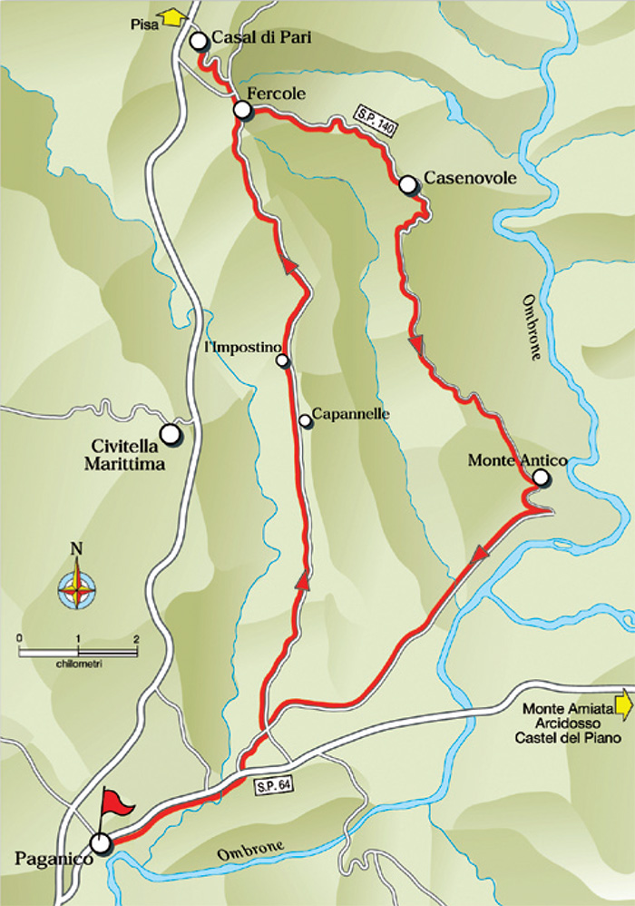
PAGANICO Km 0 - FERCOLE (CASAL DI PARI) Km 16 - CASENOVOLE Km 19,2 - MONTE ANTICO STAZIONE Km 28 - PAGANICO Km 38,4
Starting point and arrival: Paganico
Distance in kilometres: 38.4 km (42.8 km with the recommended detour)
Difference in altitude: about 350 m
Type of road: tarred road
Bicycle: roadster and all-terrain
Difficulty: average - demanding
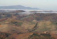
NOTES: Itinerary of great landscape value on the old road Leopoldina, one of the most beautiful in Maremma: the detour to Casal di Pari, a
small and typical town, is recommended. One has to be careful on the provincial road S.P. 64 near Paganico: the road has a quite heavy traffic.
Refreshment points (groceries, bar, restaurant) are to be found in Paganico and Casal di Pari..
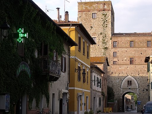
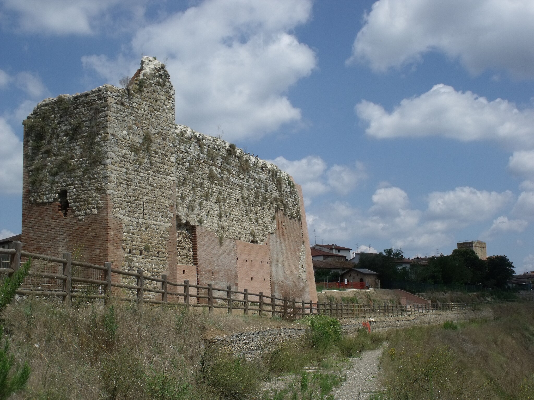
Starting from Paganico in Piazza della Vittoria and cycling toward the Cassero Senese, a fortified gate of mediaeval origins, one takes the provincial road S.P. 64 in the direction of Monte Amiata-Arcidosso- Castel del Piano. The road has a quite heavy traffic but after 2.8 kilometres one leaves the S.P. 64 to turn left towards Monte Antico, cycling under the railway bridge.
After 1 kilometre one ignores the crossroads to the right towards Monte Antico and cycles straight on in the direction of Casenovole- Casal di Pari climbing a gentle slope for about 1 kilometre, then the gradient starts to increase. The road carries on alternating stretches of different gradients.
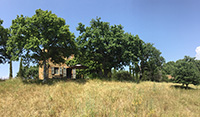
After a stretch of ups and downs one reaches a farm (9.5 kilometres), an ancient post station right at the side of the road. The gradient decidedly increases in the last 600 metres before clearing the hill (15.1) and starting on the steep descent as far as the village of Fercole. Here the itinerary turns right onto the splendid Leopoldina road.
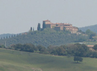
A short detour to Casal di Pari at 1.5 kilometres distance mostly uphill is recommended. Returned to Fercole one takes the S.P. 140 Leopoldina in the direction of Casenovole. The first stretch is downhill following then the levelling hairpin bend as far as the rural building of Poggio La Pila (18). From here starts a stupendous descent through cypresses, durmasts and holm oaks groves for 1.2 kilometres as far as the spectacular cypress-fringed alley leading to the Casenovole Castle (19.2). One cycles on downhill among cypresses and olive trees up to a crossroads where one keeps to the main tarred road in the direction of Monte Antico and Paganico.
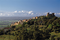
After a short while one can get a bird’s eye view of the surrounding hills with their woods, tilled fields and the fine Ombrone valley. A short climb leads to a farm and further to other rural buildings before starting on the final descent towards Monte Antico (28). Past the railway station and on a road, at first even (across the Ombrone plain) and then slightly uphill, one reaches the crossing where one leaves the S.P. 140 Leopoldina to turn left in the direction of Paganico.
From here one cycles on the same route as at the beginning of the itinerary as far as the railway bridge where one turns right taking the S.P. 64 for about 2 kilometres mostly downhill as far as Paganico.[1]
