|
The Road to the Termal Baths
|
|
Manciano [2]
|

Galería Fotográfica de Manciano
|
||||
 |
 |
 |
||
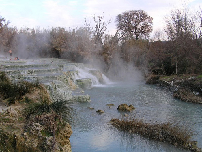
| Manciano | Saturnia, Cascate del Gorello
|
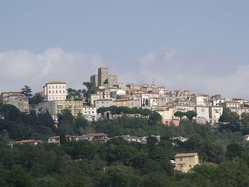
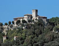
Manciano, Rocca | ||
 |
 |
 |
||
Saturnia |
Scansano, olive trees | Montemerano | ||
 |
 |
 |
||
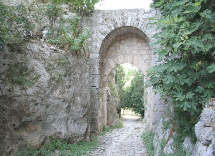
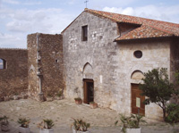
| Saturnia, Cascate del Gorello [3] | La Via Clodia a Saturnia and the Porta Romana | Chiesa di San Giorgio | ||
 |
||||
Cascate del Gorello, Saturnia
|
||||
Trekking in Toscana
|
||||
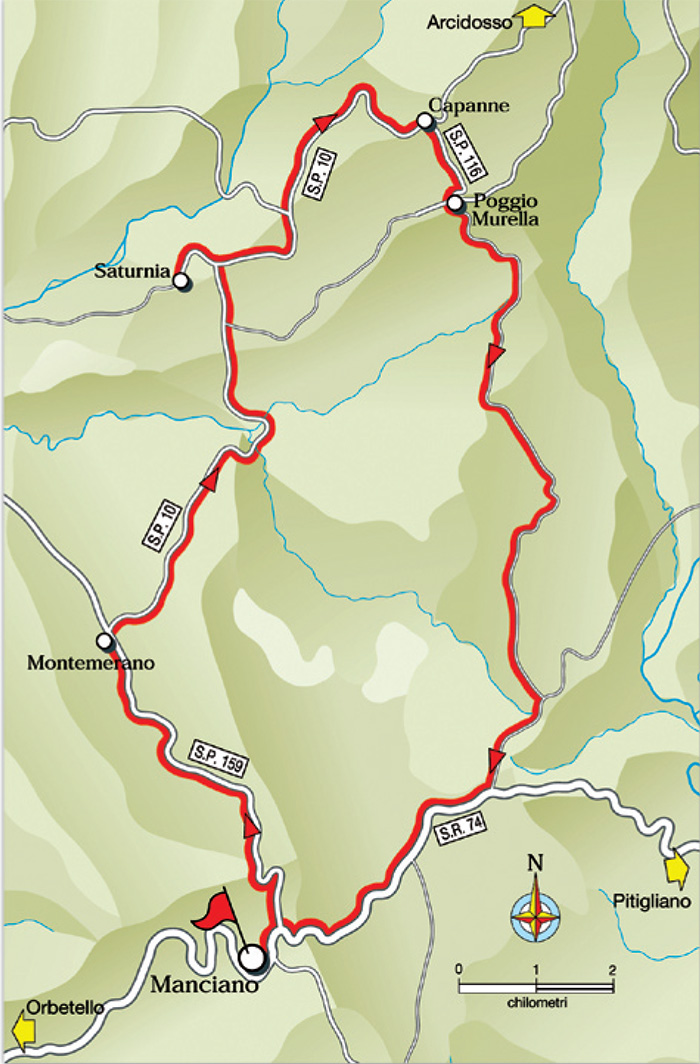
Saturnia is famous for its hot springs of sulfurous water coming out of the spring at a temperature of 37 ° C constant. A series of natural limestone basins are at Il Mulino di Saturnia, out of the old village, fed by the Gorello stream and open to the public and free throughout the entire year. Watch the map of the Cascate del Gorello, the limestone basins open to the public.
|
||||
|
||||
 |
||||
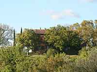
Podere Santa Pia |
Podere Santa Pia |
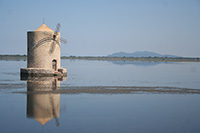
One of the symbols of Orbetello, il Mulino Spagnolo |
||
#poderesantapiaTuscany, Saturnia, Cascate del Mulino in the early morning.
|
||||
|
||||